Boeing 737 - 600/700/800/900. Operations Manual (1997 year) - page 68
Flight Management, Navigation -
FMC Cruise
Boeing 737 Operations Manual
Navigation Aid Data Display
REF NA V DATA
N A V A I D I D E N T
SE A
2
C L A S S
VTH W
3
L A T I T U D E
L O N G I T U D E
N47`26
1
W122`18. 6
F R E Q
E L E V A T I O N
1
116.
8
0
360FT
4
M A G V A R
E
2
2
`
<INDE X
1
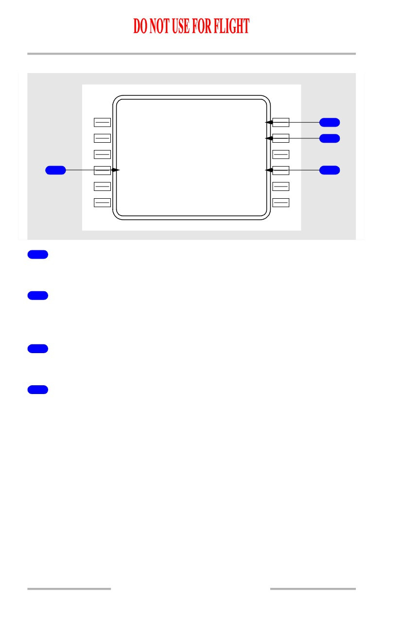
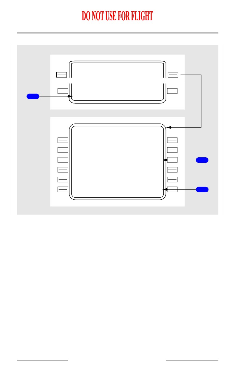
Frequency (FREQ)
Displays or permits entry of the frequency of the entered navaid.
2
Navigation Aid Identifier (NAVAID IDENT)
Displays or permits entry of navaid identifier (5 characters maximum). Following
entry, the associated data lines are displayed.
3
Classification (CLASS)
Displays or permits entry of the classification of the entered navaid.
4
ELEVATION
Displays or permits entry of the elevation (feet above MSL) of the entered navaid.
11.42.44
Flight Management, Navigation -
FMC Cruise
Boeing 737 Operations Manual
Airport Data Display
REF NA V DATA
R U N W A Y
I
D
E N T
1
---
-
-
A I R P O R
T
I
D E N T
2
KBF I
L A T I T U D E
L O N G I T U D E
N47`31
8
W122`18. 1
E L E V A T I O N
18
F
T
3
M A G V A R
E
1
9
`
<INDE X
1
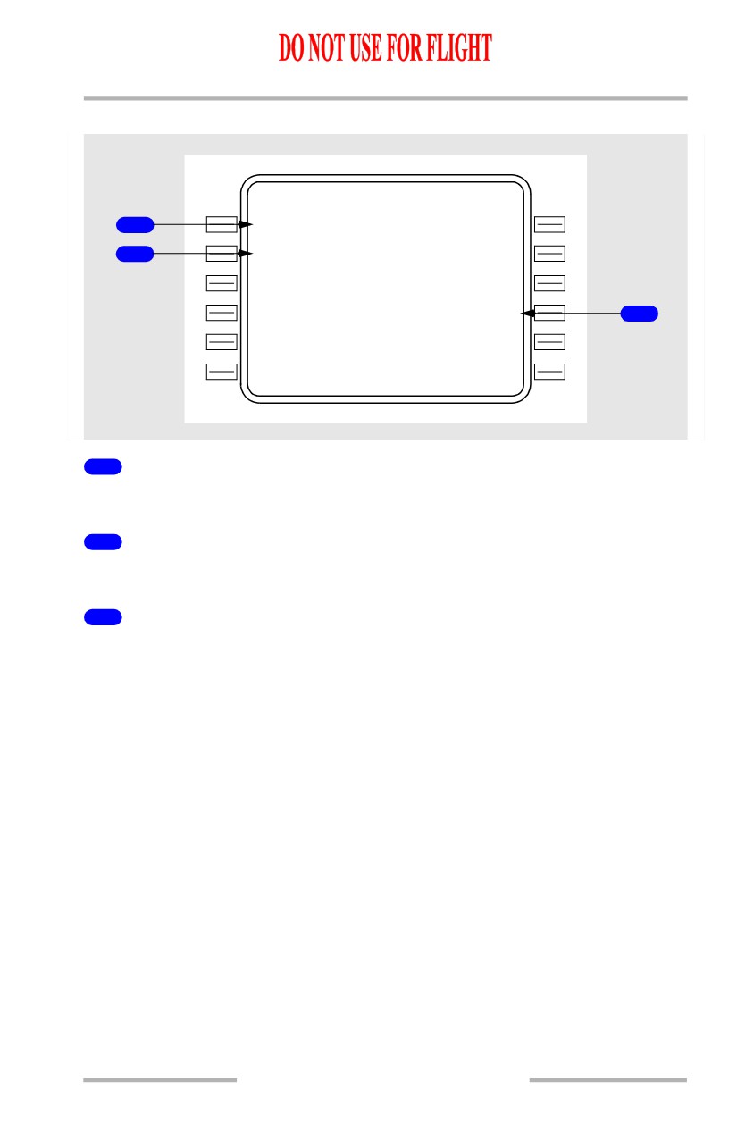
Runway Identifier (RUNWAY IDENT)
Permits entry of runway identifier.
2
Airport Identifier (AIRPORT IDENT)
Displays airport identifier.
3
ELEVATION
Displays or permits entry of the elevation (feet above MSL) of the entered airport.
11.42.45
Flight Management, Navigation -
FMC Cruise
Boeing 737 Operations Manual
Runway Data Display
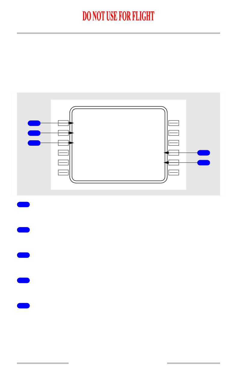
A runway identifier may be entered on the airport data display page or as a
waypoint on the REF NAV DATA page. On the airport data display page, entry
may be in the form of 13R or RW13R. Single digit entries are possible, with or
without leading zeros.If the waypoint method is used, entry must be in the form
RW13R, and the proper airport identifier must be entered on the runway data
display page. Runways must be stored in the permanent navigation database.
REF NA V DATA
R U N W A Y
I
D
E N T
1
RW1
3
R
A I R P O R
T
I
D E N T
2
KBF I
L A T I T U D E
L O N G I T U D E
3
N47`32
4
W122`18. 7
E L E V A T I O N
13
F
T
4
M A G V A R
L E N G T H
E
19`
10000F T 3048M
5
- - - - - - - -
-
-
- - - - - - - - - - - - - -
<INDE X
1
Runway Identifier (RUNWAY IDENT)
Displays runway identifier.
2
Airport Identifier (AIRPORT IDENT)
Displays airport identifier.
3
LATITUDE/LONGITUDE
Displays latitude and longitude of entered runway.
4
ELEVATION
Displays elevation (feet above MSL) of the entered runway.
5
Runway Length (LENGTH)
Displays length of entered runway in feet and meters.
11.42.46
Flight Management, Navigation -
FMC Cruise
Boeing 737 Operations Manual
Navigation Summary (NAV SUMMARY)
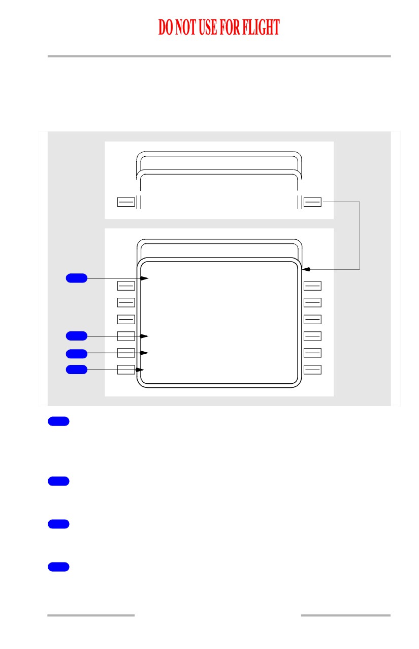
The NAV SUMMARY pages show the contents of the temporary and
supplemental navigation databases. Contents of the temporary navigation
database show first, followed by contents of the supplemental navigation
database.
SUP
P
NAV DATA
REF NAV DATA
SUMMAR
Y
>
SUPP
NAV SUMMARY
2/2
TEMP NA V SUMMARY
1 / 2
1
W A Y P O I N T S
A B C D
N 2
9
`
36 .4
W 0 8 2 `1 6 . 4
T O U T L
N 4
2
`
23 .9
W 1 2 0 `3 5 . 6
B A K E R
H U
M
P
P 0 3 5 / 1 0 2
C O W L Z
N 4
3
`
18 .0
W 1 2 1 `1 2 . 6
G F K
R D
R
0
25 / 0 0 5
S Q U A K
S 1
3
`
45 .9
E 0 6 4 `1 1 . 6
2
N A V A I D S
R D R
N 3
7
`
46 .2
W 0 7 5 `5 4 . 1
3
A I R P O R T S
K D E R
N 4
6
`
31 .2
W 1 2 3 `1 0 . 4
4
<INDE X
1
WAYPOINTS
Shows waypoints stored in related database.
Waypoints show in defining format.
2
NAVAIDS
Shows navaids stored in related database.
3
AIRPORTS
Shows airports stored in related database.
4
INDEX
Push - Shows page (REF NAV DATA or SUPP NAV DATA) used to access NAV
SUMMARY pages.
11.42.47
Flight Management, Navigation -
FMC Cruise
Boeing 737 Operations Manual
Supplemental Nav Data
INIT/ REF INDEX
<IDEN T
NAV
DATA>
M
A
INT>
1
SUP P
SUPP NA V DATA
W P T I D E
N
T
N A V A I D I D E N T
---
-
-
----
A I R P O R
T
I
D E N T
--
-
-
SUMMARY>
E F F F R M M O N D Y / Y R
JA
N
1
5
96
2
- - - - - - - -
-
-
- - - - D E L E T E A L L
<INDE X
SUPP DATA>
3
11.42.48
Flight Management, Navigation -
FMC Cruise
Boeing 737 Operations Manual
[Option - With company data link]
INIT/ REF INDEX
<IDEN T
NAV
DATA>
<OFFSE T
MAINT>
1
SU
P
P
SUPP NA V DATA
W P T I D E
N
T
N A V A I D I D E N T
---
-
-
----
A I R P O R
T
I
D E N T
--
-
-
SUMMARY>
E F F F R M M O N D Y / Y R
JA
N
1
5
96
2
S U P P N A V
S U P P N A V
4
<REPOR T
REQUEST>
5
- - - - - - - -
-
-
- - - - D E L E T E A L L
<INDE X
SUPP DATA>
3
1
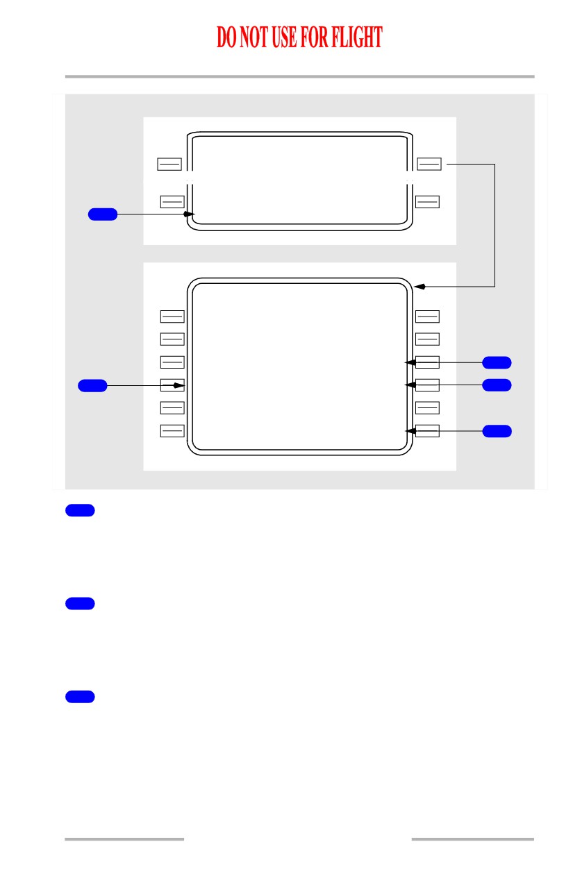
SUPP Scratchpad Entry
The supplemental navigation database is accessed by typing SUPP in the
scratchpad while on the INIT/REF INDEX page, then selecting the NAV DATA
prompt. Access is only available on the ground.
2
Effectivity Date (EFF FRM MON DY/YR)
Allows entry of month, day, and year that the supplemental database becomes
valid. The date will be displayed on IDENT page 1/2 after entry. Box prompts are
displayed if an effectivity date is not entered.
3
Delete All Supplemental Data (DELETE ALL SUPP DATA)
Data may be deleted from the supplemental database by two methods. Deletion
may be accomplished one item at a time on the display pages, or the entire
database may be deleted by selecting this prompt. The prompt is only available
before entry of an origin airport.
11.42.49
Flight Management, Navigation -
FMC Cruise
Boeing 737 Operations Manual
4
SUPP NAV REPORT
[Option - With company data link]
Push - transmits a copy of supplemental navigation database.
5
SUPP NAV REQUEST
[Option - With company data link]
Push - transmits a data link request for a supplemental navigation database uplink.
11.42.50
Flight Management, Navigation -
FMC Cruise
Boeing 737 Operations Manual
Navigation Status Display
The NAV STATUS page displays the current status of the navaids being tuned.
Access to the NAV STATUS display is from the NAV STATUS prompt on the POS
SHIFT page 3/3, the PROGRESS page 1/3, and (in flight) the INIT/REF INDEX
page or from the NAV OPTIONS page 2/2, NEXT or PREV PAGE.
[Option - Single FMC with GPS]
NA V STATUS
1 / 2
V O R - L
I L S - R
SEA A 116
80
IBFIM 110.90
1
1
D M E - L
D M E - R
SEA
116
80
IBFI
110.90
EPH
112
80
ELN
117.90
P
E
A
114 .20
A L W
116
4
0
H Q M
117
7
0
MWH
115.00
3
G P S
(
L
)
I R S
( L )
2
<INDE X
POS SHIFT>
[Option - Dual FMC with GPS]
NA V STATUS
1 / 2
V O R - L
I L S - R
SEA A 116
80
IBFIM 110.90
1
1
D M E - L
D M E - R
SEA
116
80
IBFI
110.90
EPH
112
80
ELN
117.90
P
E
A
114 .20
A L W
116
4
0
H Q M
117
7
0
MWH
115.00
3
G P S
(
2
)
I R S
( 2 )
2
<INDE X
POS SHIFT>
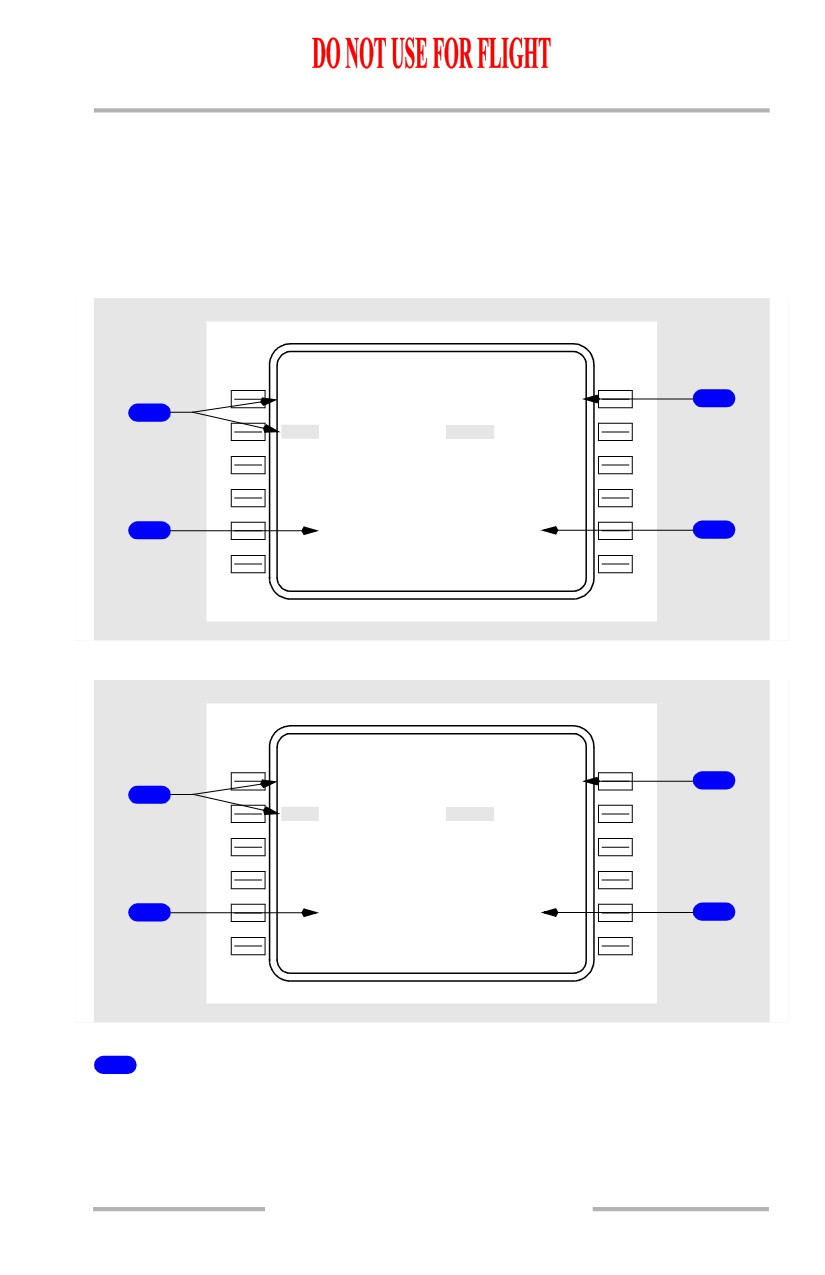
1
VOR/ILS and DME Lines
Lines 1L and 1R display VOR or ILS identifier and frequency tuned on the
corresponding VHF NAV control panel.
Lines 2L - 2R through 4L - 4R display up to five DME identifiers and frequencies
tuned by the corresponding scanning DME receiver.
11.42.51
Flight Management, Navigation -
FMC Cruise
Boeing 737 Operations Manual
Data is displayed in large font with the identifier highlighted if that facility is
being used for navigation.
Data is displayed in large font with the identifier not highlighted if that facility is
being received but not used for navigation.
Data is displayed in small font if that facility is being tuned but not received.
If the navaid has failed, FAIL will be displayed in small font.
If there is no corresponding identifier for the displayed frequency, then the
identifier field will be blank and only the frequency will be displayed.
On lines 1L or 1R, for VOR/ILS displays, the mode of tuning will be shown:
• M - Manual
• P - Procedural
• A - Automatic.
On lines 2L - 2R through 4L - 4R, if no DME information is received then the
identifier and frequency field is blank.
2
IRS Status Display
[Option - Single FMC]
Displays the IRS currently selected for use in navigation. “L” or “R” indicates left
or right IRS is being used in the FMC position calculation.
2
IRS Status Display
[Option - Dual FMC]
Displays the IRS currently selected for use in navigation. “L” or “R” indicates left
or right, and “2” indicates dual system with both IRSs used in the FMC position
calculation.
3
GPS Status Display
[Option - Single FMC with GPS]
Displays the GPS currently selected for use in navigation, “L” or “R” indicates left
or right GPS is being used in the FMC position calculation. The display will be
blank if GPS is inhibited for use in navigation.
3
GPS Status Display
[Option - Dual FMC with GPS]
Displays the GPS currently selected for use in navigation, “L” or “R” indicates left
or right, and “2” indicates dual system with both GPSs used in the FMC position
calculation. The display will be blank if GPS is inhibited for use in navigation.
11.42.52
Flight Management, Navigation -
FMC Cruise
Boeing 737 Operations Manual
Navigation Options (NAV OPTIONS)
The FMC normally rejects the use of navaids that are not suitable for navigation.
However, when the aircrew is aware that unreliable navaids exist (either by
NOTAM, ATC, etc.) they should manually exclude these navaids from the FMCs
navigation solution. This will prevent the possibility of incorrect position
calculations and maximize the FMCs reliability. This is accomplished through the
NAV OPTIONS page.
Access to the NAV OPTIONS page may be gained by selecting the NAV
OPTIONS prompt on the REF NAV DATA page or by selecting NEXT or PREV
PAGE on the NAV STATUS page.
[Option - With GPS]
NA V OPTIONS
2 / 2
D M E I N H I B I T
--
-
-
----
1
V O R I N H I B I T
--
-
-
----
D M E U P D A T E
G P S U P D A T E
<ON/O F F
ON/O F F >
2
2
V O R U P D A T E
<ON/O F F
<INDE X
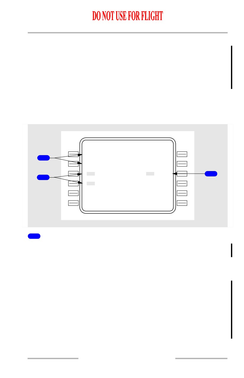
1
DME/VOR INHIBIT
Enter the identifier of up to two VOR/DME, VORTAC, or DME stations that must
not be used for FMC position updates.
Entries are blanked at flight completion.
Deleting or overwriting removes a previous inhibit.
The FMC normally uses DME from two different ground stations to update its
position solution. When two DME stations are not available, the FMC reverts to
single station radial-DME updating to determine position. Only two of the four
inhibit entries are utilized at any one time depending upon which update mode the
FMC is operating in. The DME INHIBIT entries are excluded from the FMCs
update solution whenever the FMC is updating from two DME stations. The VOR
INHIBIT entries are excluded from the FMCs update solution whenever the FMC
is radial-DME updating.
11.42.53
Flight Management, Navigation -
FMC Cruise
Boeing 737 Operations Manual
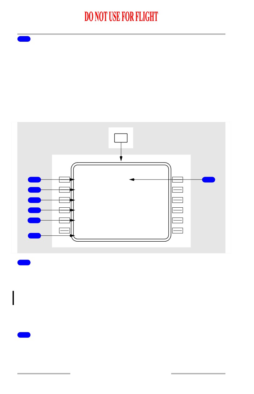
2
DME/VOR/GPS UPDATE
[Option - With GPS]
Selection permits switching between ON and OFF modes for updating FMC
position. Default mode is ON. The current mode is highlighted.
Selection is reset to ON at flight completion.
Fix Information Page
Two identical FIX INFO pages are used to identify waypoint fixes for display on
the navigation display map mode. If desired, fix information can be copied into
the route. Page access is via the FIX key.
FIX
FI X INFO
1 / 2
F I X
R A
D
/
D I S F R
1
ABC
1
1
1/29
7
R A D / D I
S
E
T A
D T G
A L T
2
130/24
2
0
04.5
10
12000
3
180/26
2
0
08.9
32
F L 1 9 0
4
---/-
-
-
A B E A M
5
150/23
2
0
06. 5
18
15500
6
ABC180.3
/
2
6.4
1
FIX Name
Enter the desired fix.
Valid entries are airports, navaids, and waypoints from the navigation database.
Valid entries are airports, navaids, waypoints or runway identifiers from the
navigation database.
The selected fix is displayed on the navigation display map mode and highlighted
by a green circle.
2
Distance Entry
Enter a distance from the fix. Distances from the fix are displayed on the
navigation display map mode as a dashed green circle around the fix.
11.42.54
Flight Management, Navigation -
FMC Cruise
Boeing 737 Operations Manual
When the distance intersects the active route, the ETA, DTG, and predicted
altitude at the intersection are displayed for that intersection.
If there is more than one intersection, the data will apply to the first occurrence
and will sequence as each intersection is passed.
Valid entries are xxx.x:
• leading zeros can be omitted for distance
• decimal values can be omitted
• distance only entries must start with a /.
ETA - displays the estimated time of arrival to the intersection point.
DTG - displays the distance to go to the intersection point.
ALT - displays the predicted altitude at the intersection point.
3
Radial Entry
Enter a radial from the fix. Radials are displayed on the navigation display map
mode as green dashed lines from the fix.
When the radial intersects the active route, the ETA, DTG, and predicted altitude
at the intersection are displayed.
If there is more than one intersection, the data will apply to the first occurrence
and will sequence as each intersection is passed.
Valid entries are xxx.
4
Radial/Distance Entry
Enter a radial, distance, or both radial and distance from the fix. A radial and
distance from the fix is displayed on the navigation display map mode by both
radial and distance, but ETA and ALT fields will be blank.
5
ABEAM
Displays the abeam point and calculates the ETA, DTG, and ALT information.
The fix abeam point ahead of the airplane is displayed by a radial line from the
waypoint ending at the nearest perpendicular route leg intersection.
If there is more than one intersection, the data will apply to the first occurrence
and will sequence as each intersection is passed.
6
Route Intersection Point Copied
Pushing the line select key for one of the RAD/DIS entries copies the fix
place/bearing/distance definition into the scratchpad. This fix can be placed into
the route on a LEGS page as a waypoint.
11.42.55
Flight Management, Navigation -
FMC Cruise
Boeing 737 Operations Manual
7
Radial/Distance From Fix (RAD/DIS FR)
Displays the radial and distance from the fix to the airplane. This information is
continually updated as the airplane position changes.
11.42.56
Boeing 737 Operations Manual
Flight Management, Navigation
Chapter 11
FMC Descent and Approach
Section 43
Introduction
The descent phase begins at the top of descent point and continues to the end of
descent point. Planning for the descent phase begins during cruise.
The approach phase begins at the end of descent point and continues to touchdown
or go-around. When a go-around is accomplished, the FMC enters the cruise
phase.
The only automatic page change provided in the descent/approach modes is the
transition from cruise to descent at the top of descent.
Early Descent
Early descent may be commenced prior to reaching the top of descent by using the
DES NOW prompt.
Descent
During descent, LNAV progress is managed using the RTE LEGS and
PROGRESS pages, as in the cruise phase. VNAV descent management is
accomplished primarily on the DES page.
The DES FORECASTS page is also available to enter forecast wind data to aid in
descent planning.
[Option - With alternate destination prediction]
Other pages which support descent are:
• DES FORECASTS page - to enter forecast wind data to aid descent
planning
• ALTERNATE DESTS page - to manage the selection of alternate airports
and diversions.
Descent Page (During Cruise)
The descent page is used to monitor, revise, or select the descent path. Descent
modes are economy (ECON) path or speed and manual path or speed. The default
VNAV descent mode is ECON PATH. The crew must select a manual speed
descent mode.
The page title reflects the VNAV descent mode. The path mode controls descent
to fly a vertical path which complies with altitude and speed restrictions in the
flight plan. The speed mode controls descent at a fixed speed and complies with
altitude and speed restrictions in the flight plan.
October 15, 2001
11.43.1
Flight Management, Navigation -
FMC Descent and Approach
Boeing 737 Operations Manual
DES
During cruise
ECO N PATH DES
1 / 1
270
K
T
PATH DES
1 / 1
1
ECO N SPD DES
1 / 1
M.7
2
0
SPD DES
1 / 1
E / D A L T
2
20
1
3
T G T S P D
T O T / D
3
.720/2
8
0
2004.3Z /
46N M
S P D R E S T
W P T A L T
4
240/100
0
0
-----/-----
F P A V / B
V / S
- - - - - - - -
-
-
- - - - - - - - - - - - - -
5
<ECO N
PATH>
7
6
<FORECAS T
DES NOW>
8
11.43.2
October 15, 2001
Flight Management, Navigation -
FMC Descent and Approach
Boeing 737 Operations Manual
[Option - With FANS MCDU]
NEXT
PAGE
ACT
CRZ
2 / 3
ECO N PATH DES
3 / 3
270
K
T
PATH DES
3 / 3
1
ECO N SPD DES
3 / 3
M.7
2
0
SPD DES
3 / 3
E / D A L T
2
20
1
3
T G T S P D
T O T / D
3
.720/2
8
0
2004.3Z /
46N M
S P D R E S T
W P T A L T
4
240/100
0
0
-----/-----
F P A V / B
V / S
- - - - - - - -
-
-
- - - - - - - - - - - - - -
5
<ECO N
PATH>
7
6
<FORECAS T
DES NOW>
8
1
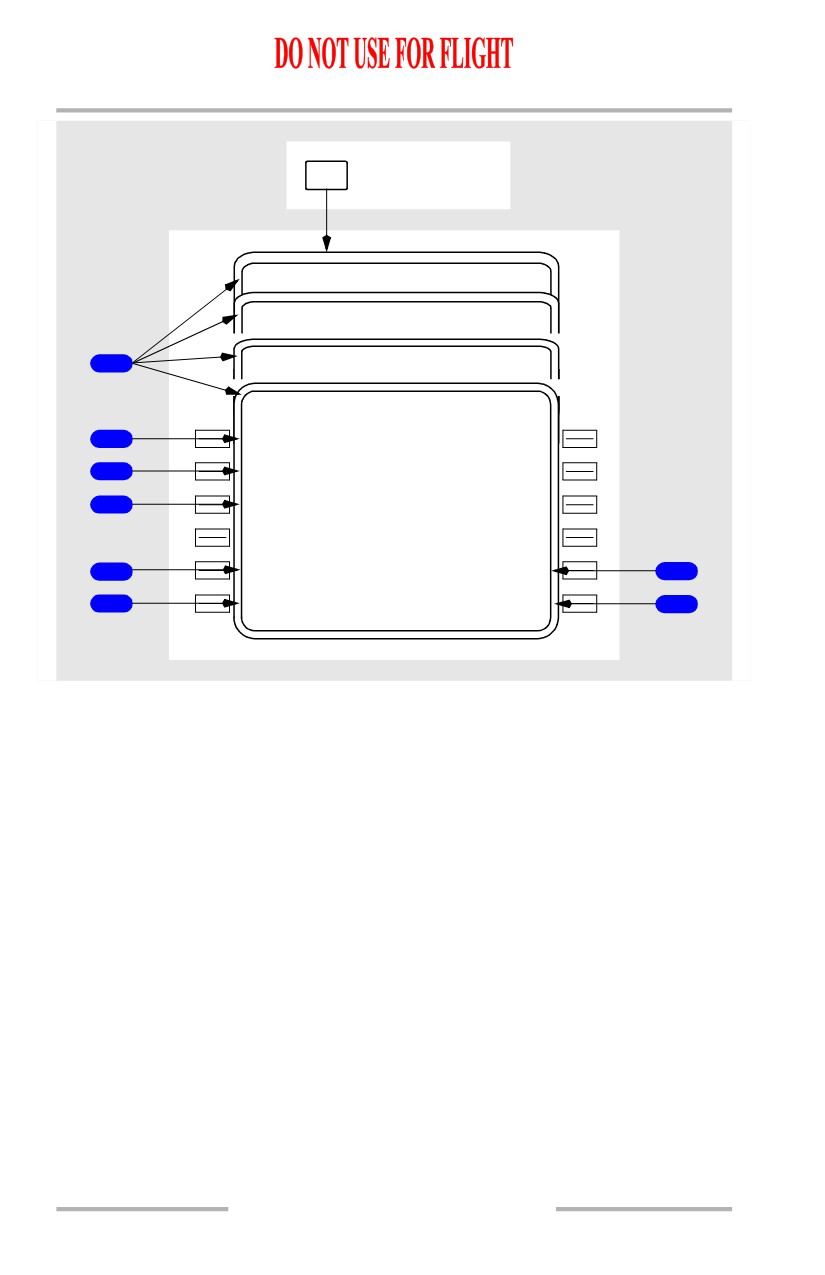
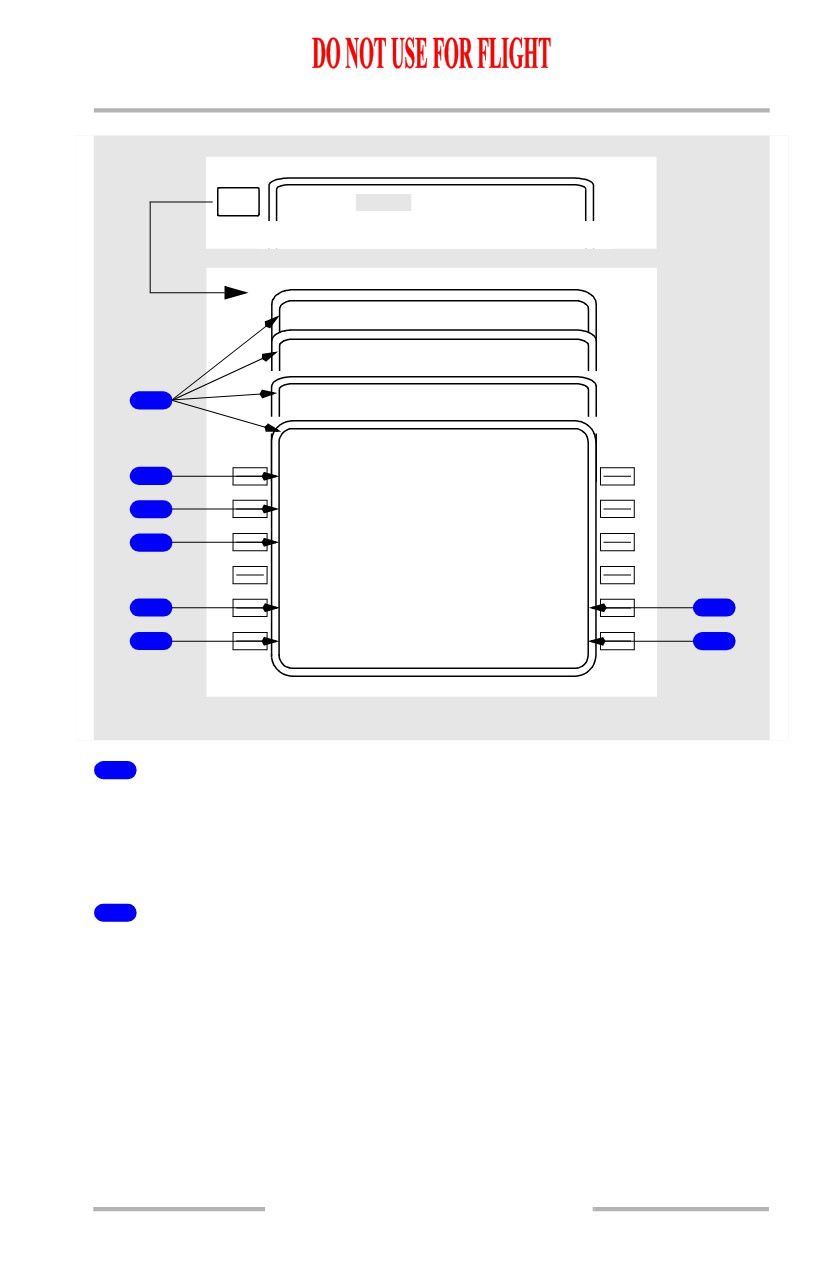
Page Title
The page title identifies the selected mode. When a manual speed is selected, the
title includes XXXKT for fixed CAS or M.XXX for fixed Mach selections.
Displays ACT when the descent phase is active.
2
End of Descent Altitude (E/D ALT)
Displays the end of descent altitude.
• for a PATH DES page, displays the altitude restriction for the E/D
waypoint; blank if path descent not available
• for a SPD DES page, displays the altitude restriction for the E/D
waypoint, if an E/D waypoint is present
• if an approach is selected which ends at RWXXX, the E/D altitude will be
Threshold Crossing Height (TCH), 50 feet above the runway.
October 15, 2001
11.43.3
Flight Management, Navigation -
FMC Descent and Approach
Boeing 737 Operations Manual
The end of descent altitude is the last of the following not preceded by a lateral
discontinuity:
• lowest altitude constraint, including:
[Option - FMC U10.3 and later]
• threshold crossing height for the runway.
3
Target Speed (TGT SPD)
Displays the command speed used above all waypoint constraints, or speed
restrictions.
On ECON PATH or ECON SPD DES pages, displays the computed values for
target Mach and airspeed. Speeds are performance limited.
Manual entries may be made and cause the manual PATH or manual SPD DES
page for that value to display (M.720 SPD DES is depicted).
Blank for any PATH DES page if a path descent is not available.
4
Speed Restriction (SPD REST)
Displays the most restrictive of the following speeds:
• destination airport speed minus 10 knots
• waypoint speed restriction if greater than minimum flaps up maneuvering
speed
• minimum flaps up maneuvering speed
• selected Vref + wind correction for landing flap setting
• whenever flaps are extended, the, appropriate flap speed shall be
displayed as XXX/FLAPS. This shall supersede any other speed
restriction
• displays XXX/HOLD when decelerating to hold speed prior to hold entry
fix.
Dash prompts displayed when there is no active speed restriction.
Manual crew entries or deletions may be made. HOLD or FLAPS speed may not
be deleted or modified.
5
Economy (ECON)
Displayed on the manual DES pages.
Push - selects the corresponding ECON SPD or ECON PATH DES page.
6
Descent Forecasts (FORECAST)
Push - selects the DES FORECASTS page.
11.43.4
Flight Management, Navigation -
FMC Descent and Approach
Boeing 737 Operations Manual
7
PATH
Displayed on the SPD DES pages if a path descent is available.
Push - selects the corresponding PATH DES page.
8
Descend Now (DES NOW)
Displayed on the standard DES pages whenever descent is not ACT or MOD.
Blank for any PATH DES page if a path descent is not available.
Push - arms the DES NOW function and illuminates the EXEC light.
On a PATH DES page, execution allows early initiation of PATH descent at 1000
fpm until intercepting the computed path. On a SPD DES page, execution allows
early initiation of a SPD descent at the specified speed (ECON or manual).
11.43.5
Flight Management, Navigation -
FMC Descent and Approach
Boeing 737 Operations Manual
Descent Page (During Descent)
Display when any descent mode is active after beginning of descent.
DES
During descent
ACT M.
7
2
0
SPD DES
1 / 1
ACT
27
0
K
T PATH DES
1 / 1
ACT ECO N SPD DES
1 / 1
ACT EC0 N PATH DES
1 / 1
E / D A L T
A T M A C E Y
20
1
3
230 /6000A
2
T G T S P D
T O M A C E Y
.720/2
8
0
2004.3Z /
19N M
3
S P D R E S T
W P T / A L T
240/100
0
0
MACEY/6000
4
V E R T D E V
F P A V / B
V / S
1
25
H
I
3.8
6.2
2360
5
- - - - - - - -
-
-
- - - - - - - - - - - - - -
S
P
EED>
6
<FORECAS T
RTA>
7
11.43.6
October 15, 2001
Flight Management, Navigation -
FMC Descent and Approach
Boeing 737 Operations Manual
[Option - With FANS MCDU]
VNAV
During descent
ACT M.
7
2
0
SPD DES
3 / 3
ACT
27
0
K
T PATH DES
3 / 3
ACT ECO N SPD DES
3 / 3
ACT EC0 N PATH DES
3 / 3
E / D A L T
A T M A C E Y
20
1
3
230 /6000A
2
T G T S P D
T O M A C E Y
.720/2
8
0
2004.3Z /
19N M
3
S P D R E S T
W P T / A L T
240/100
0
0
MACEY/6000
4
V E R T D E V
F P A V / B
V / S
1
25
H
I
3.8
6.2
2360
5
- - - - - - - -
-
-
- - - - - - - - - - - - - -
S
P
EED>
6
<FORECAS T
RTA>
7
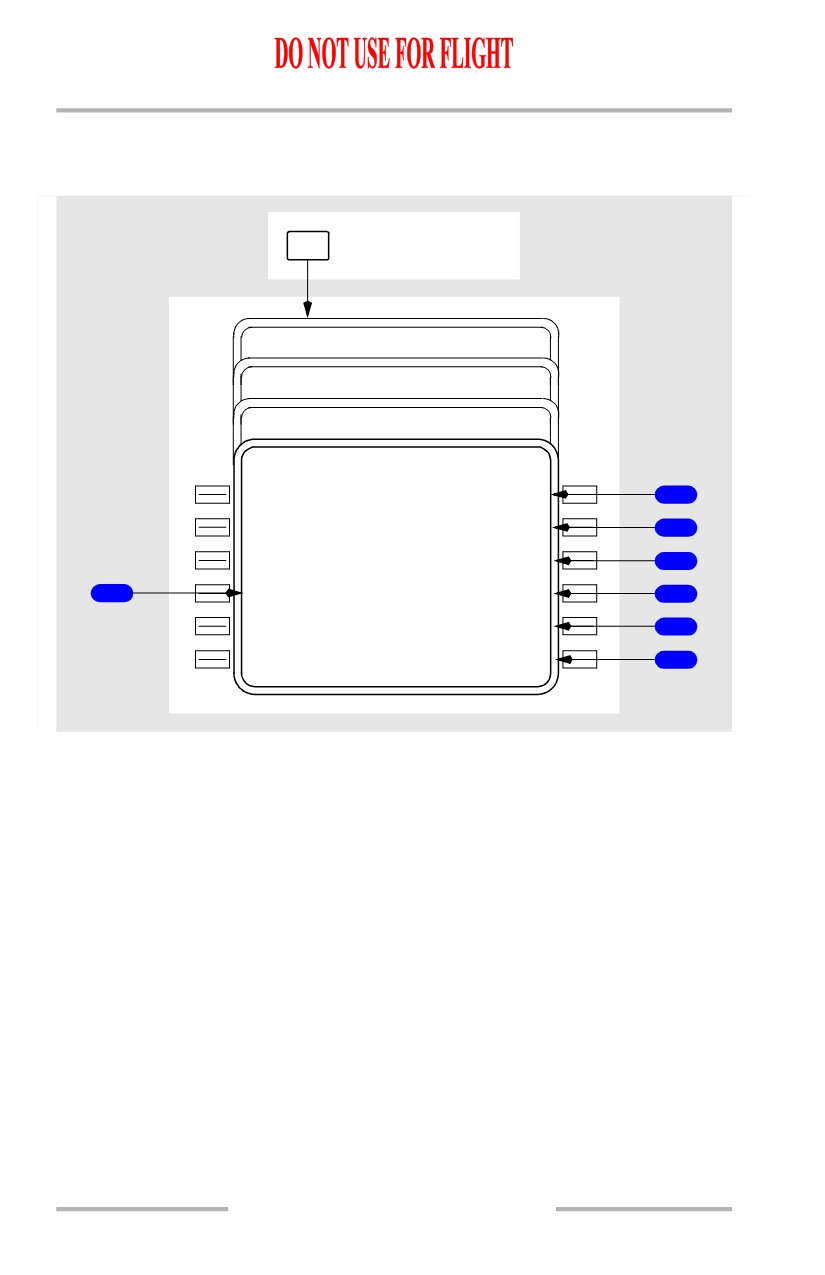
1
Vertical Deviation (VERT DEV)
Displays present deviation (feet HI or LO) from the computed vertical path.
The deviation is always in relation to the path descent profile, regardless of which
page is active (PATH DES or SPD DES).
Blank if a path is not available.
2
Altitude Restriction (AT XXXXX)
Displays the next waypoint constraint from the RTE LEGS page.
The constraint is speed/altitude. If an airspeed restriction exists at the waypoint, it
will be displayed in large font; otherwise the predicted speed will be displayed in
small font.
Can be deleted on this page.
The display is blank when no constraint exists, or for any PATH DES page if a path
descent is not available.
October 15, 2001
11.43.7