Boeing 737 - 600/700/800/900. Operations Manual (1997 year) - page 67
Flight Management, Navigation -
FMC Cruise
Boeing 737 Operations Manual
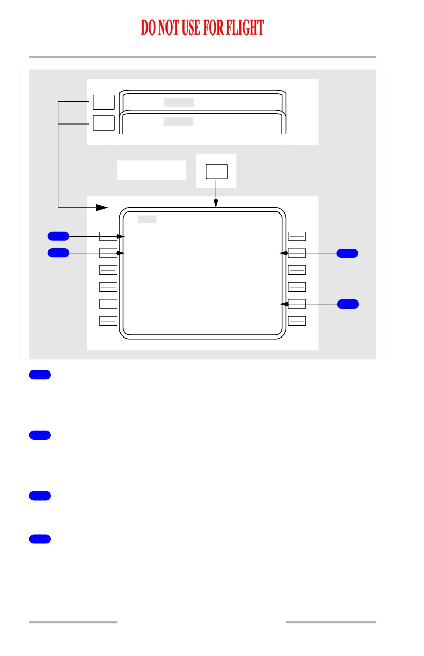
Cruise Climb
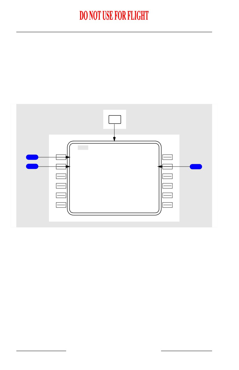
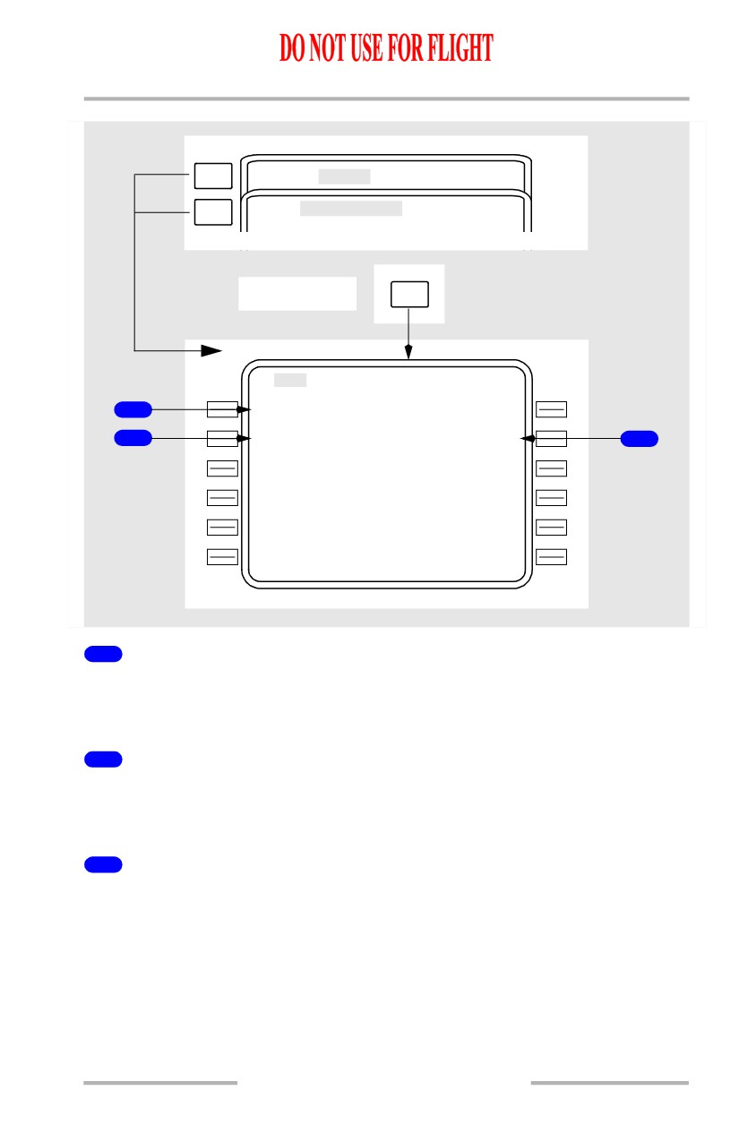
The cruise climb page displays data for a cruise climb to a new altitude.
MOD CRZ CLB is automatically displayed during cruise if a higher cruise altitude
is entered on the CRZ page.
During VNAV operation, execution initiates a climb at climb thrust and cruise
target speed to the new altitude.
The VNAV climb mode is active until reaching the selected altitude. The mode
then automatically changes back to cruise.
CLB
MOD
CR Z CLB
1 / 1
C R Z A L T
1
FL3
5
0
T G T S P D
T O F L 3 5 0
2
.7
8
0
2004.5Z /
15N M
3
S P D R E S T
E S T W I N D
---/---
-
-
129` /
14
- - - - - - - -
-
-
- -
S A V I N G S
<ECO N
1.3%
-
-
-
- - - - - - - - -
<MAX RAT E
ENG OUT>
<MAX ANGL E
ERASE>
11.42.24
Flight Management, Navigation -
FMC Cruise
Boeing 737 Operations Manual
[Option - With FANS MCDU]
PREV
PAGE
ACT
CRZ
2 / 3
NEXT
DES
3 / 3
PAGE
Climb mode
VNAV
MOD
CR Z CLB
1 / 3
C R Z A L T
1
FL3
5
0
T G T S P D
T O F L 3 5 0
2
.7
8
0
2004.5Z /
15N M
3
S P D R E S T
E S T W I N D
---/---
-
-
129` /
14
- - - - - - - -
-
-
- -
S A V I N G S
<ECO N
1.3%
-
-
-
- - - - - - - - -
<MAX RAT E
ENG OUT>
<MAX ANGL E
ERASE>
1
Cruise Altitude (CRZ ALT)
Initially displays the CRZ ALT entered on the CRZ page.
Manual entry may be made.
2
Target Speed (TGT SPD)
Displays target cruise speed for the displayed cruise altitude.
Manual entry may be made.
3
TO FLXXX
Displays ETA at, and distance to, the displayed cruise altitude.
11.42.25
Flight Management, Navigation -
FMC Cruise
Boeing 737 Operations Manual
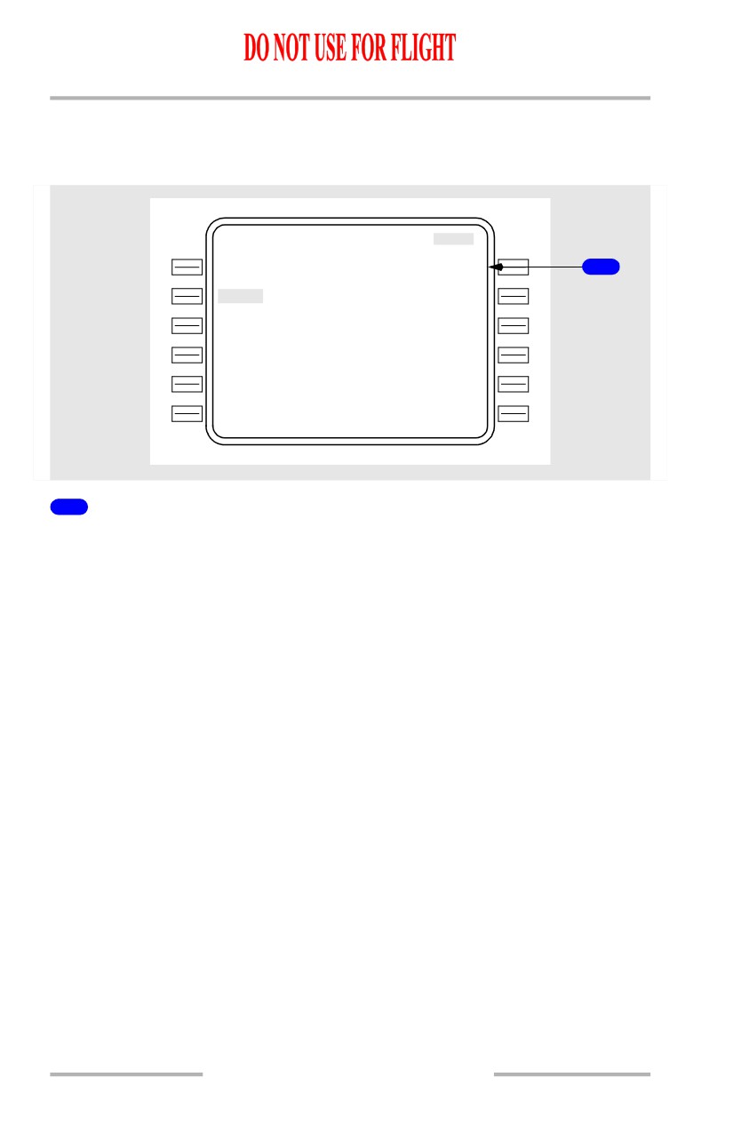
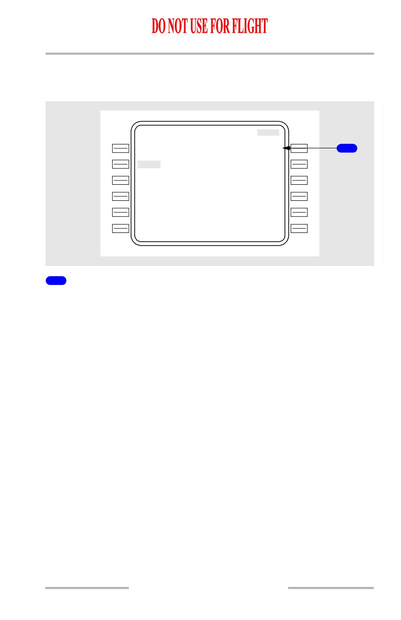
RTA Cruise Climb
The RTA cruise climb page displays the same data as the cruise climb page except
for the TIME ERROR line.
ACT
RT A CRZ CLB
C R Z A L T
T I M E E R R O R
FL3
5
0
EARLY
01:22
1
T G T S P D
T O F L 3 7 0
.780
09
5
4
.1Z /
15N M
S P D R E S T
E S T W I N D
---/---
-
-
129` /
14
- - - - - - - -
-
-
- -
<ECO N
-
-
-
- - - - - - - - -
<MAX RAT E
ENG OUT>
<MAX ANGL E
ERASE>
1
TIME ERROR
Displays the computed time error at the RTA waypoint.
Same as time error on RTA PROGRESS page.
11.42.26
Flight Management, Navigation -
FMC Cruise
Boeing 737 Operations Manual
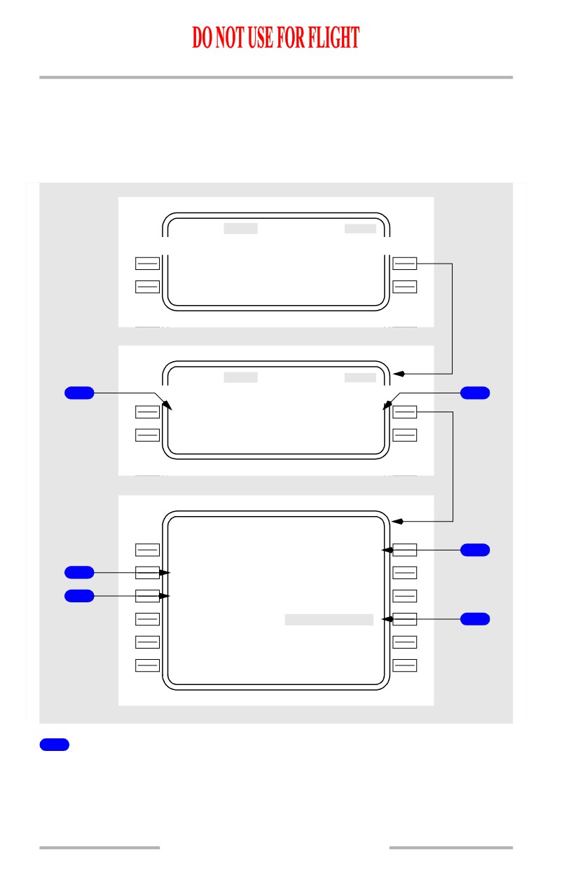
Cruise Descent
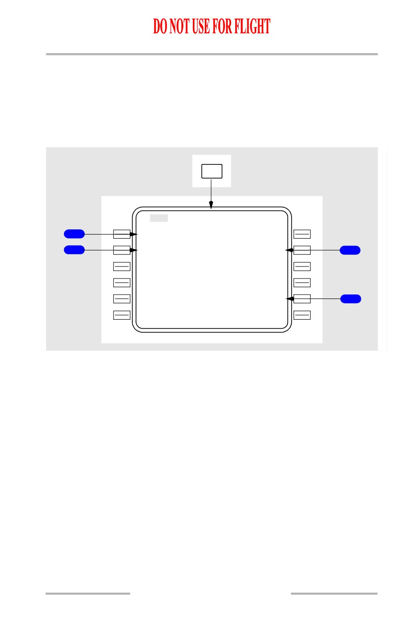
The cruise descent page displays data for a cruise descent to a new altitude.
MOD CRZ DES is automatically displayed during cruise if a lower cruise altitude
is entered on the CRZ page.
During VNAV operation, execution initiates a descent at 1,000 feet per minute and
cruise target speed to the new altitude.
DES
MOD
CR Z DES
1 / 1
C R Z A L T
1
FL2
8
0
T G T S P D
T O F L 2 8 0
2
.7
8
0
2004.5Z /
15N M
3
S P D R E S T
A C T U A L W I N D
240/100
0
0
129` /
14
P E N A L T Y
1.
3
%
- - - - - - - -
-
-
- - - - - - - - - - - - - -
PL ANNED DES>
4
<FORECAS T
ERASE>
11.42.27
Flight Management, Navigation -
FMC Cruise
Boeing 737 Operations Manual
[Option - With FANS MCDU]
PREV
PAGE
ACT
CLB
1 / 3
NEXT
AC T
CRZ
2 / 3
PAGE
Descent mode
VNAV
MOD
CR Z DES
3 / 3
C R Z A L T
1
FL2
8
0
T G T S P D
T O F L 2 8 0
2
.7
8
0
2004.5Z /
15N M
3
S P D R E S T
A C T U A L W I N D
240/100
0
0
129` /
14
P E N A L T Y
1.
3
%
- - - - - - - -
-
-
- - - - - - - - - - - - - -
PL ANNED DES>
4
<FORECAS T
ERASE>
1
Cruise Altitude (CRZ ALT)
Initially displays the CRZ ALT entered on the CRZ page.
Manual entry may be made.
2
Target Speed (TGT SPD)
Displays target cruise speed for the displayed cruise altitude.
Manual entry may be made.
3
TO FLXXX
Displays ETA at, and distance to, the displayed cruise altitude.
4
Planned Descent (PLANNED DES)
Shows the planned DES page and allows access to the planned standard descent
mode.
11.42.28
Flight Management, Navigation -
FMC Cruise
Boeing 737 Operations Manual
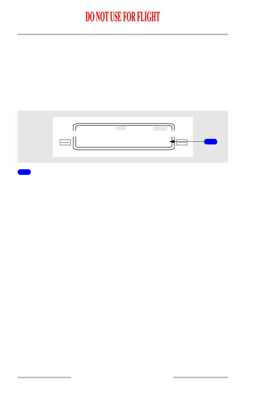
RTA Cruise Descent
The RTA cruise descent page displays the same data as the cruise descent page
except for the TIME ERROR line.
ACT
RT A CRZ DES
C R Z A L T
T I M E E R R O R
FL2
80
LATE
10:54
1
T G T S P D
T O F L 2 8 0
.780
20
0
4
.5Z /
15N M
S P D R E S T
A C T U A L W I N D
240/100
00
129` /
14
- - - - - - - -
-
-
- - - - - - - - - - - - - -
PL ANNED DES>
<FORECAS T
RTA>
1
TIME ERROR
Displays the computed time error at the RTA waypoint.
Same as time error on RTA PROGRESS page.
11.42.29
Flight Management, Navigation -
FMC Cruise
Boeing 737 Operations Manual
Engine Out Cruise
The engine out cruise page may be accessed by selecting the ENG OUT prompt
on the cruise page. The page displays advisory data for a one engine inoperative
condition.
[Option - FMC U10.3 and later]
ACT
CRZ
EN G OUT>
<LR C
RTA>
ACT
CRZ
1
1
<LT ENG OUT RT ENG OUT>
EN G OUT CRZ
1 / 1
C R Z
A
L
T
M A X A L T
FL3
3
0
FL187
4
E N G
O U
T
S
P D
2
234
K
T
C O N
N
1
3
91.
9
%
- - - - - - - -
-
-
- - - - - - - - - - - - - -
<LT ENG
O
U
T RT ENG OUT
5
1
Left/Right Engine Out (LT ENG OUT/RT ENG OUT)
[Option - FMC U10.3 and later]
Selection changes display to ENG OUT CRZ page. The ENG OUT CRZ page is
information only.
11.42.30
Flight Management, Navigation -
FMC Cruise
Boeing 737 Operations Manual
2
Engine Out Speed (ENG OUT SPD)
[Option - FMC U10.3 and later]
Displays the optimum speed based on minimum drag.
3
Continuous N1 (CON N1)
[Option - FMC U10.3 and later]
Displays N1 for maximum continuous thrust.
N1 is computed using actual bleed conditions.
4
Maximum Altitude (MAX ALT)
Displays the computed maximum altitude at which a company-specified rate of
climb can be achieved, using one engine at maximum continuous thrust (default
climb rate is 100 feet per minute).
After page selection, the FMC accounts for wing and engine anti-ice, air
conditioning, and the engine bleed of the operating engine.
5
LT ENG OUT/RT ENG OUT
Selected engine is shown in reverse highlighting.
11.42.31
Flight Management, Navigation -
FMC Cruise
Boeing 737 Operations Manual
Early Descent
Early descents are initiated from the DES page. Once an early descent is executed,
VNAV transitions to the descent mode and cruise features are no longer available.
For a path descent the DES NOW prompt will not be displayed until a descent path
is established. Once executed, the autothrottle adjusts thrust to maintain 1000 feet
per minute until intercepting the descent path.
For a speed descent, the autothrottle retards to idle and pitch maintains target
speed.
ECO N
DES
<FORECAS T
DES NOW>
1
1
Descend Now (DES NOW)
Selecting the PATH DES page before reaching the top of descent displays the
normal descent page with the prompt DES NOW on the bottom right of the page.
Selecting and executing the DES NOW prompt initiates a VNAV descent of 1000
feet per minute at ECON speed. Upon reaching the planned descent path, VNAV
transitions to maintain the planned descent path.
Selecting the SPD DES page and executing the DES NOW prompt initiates a
VNAV descent at idle thrust and target speed.
11.42.32
Flight Management, Navigation -
FMC Cruise
Boeing 737 Operations Manual
Route and Waypoint Data
Route Data (RTE DATA) Page
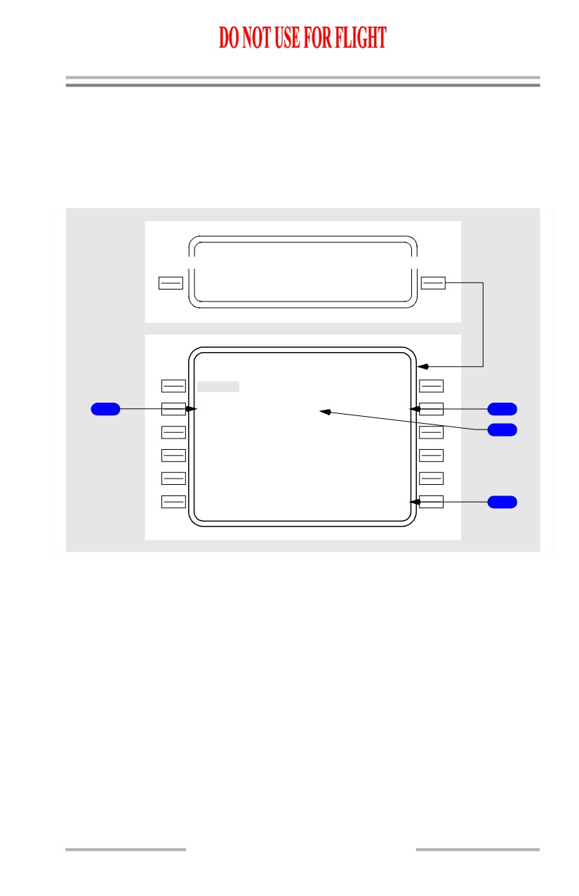
The RTE DATA page displays ETA for each waypoint on the RTE LEGS page.
This page also displays forecast wind data for cruise waypoints.
One page displays data for five waypoints.
ACT RT E
LEGS
1 / 2
R N P / A C T U A L - - - - - - - - - - - - -
2 .00 / 0 . 2
6
N
M
RTE DATA>
ACT RT E
DATA
1 / 2
E T A
W I N D
VERN
O
1
315Z
07 0 ` /
40
1
AB
C
1
328Z
07 5 ` /
45
2
DE
F
1
333Z
080`/140
3
GH
I
1
338Z
08 0 ` / 1 4 0
JK
L
1
341Z
- - - - - - - -
-
-
- - - - - - - - - - - - - -
LEGS>
4
11.42.33
Flight Management, Navigation -
FMC Cruise
Boeing 737 Operations Manual
[Option - With company data link]
ACT RT E
LEGS
1 / 2
R N P / A C T U A L - - - - - - - - - - - - -
2 .00 / 0 . 2
6
N
M
RTE DATA>
ACT RT E
DATA
1 / 2
E T A
W I N D
VERN
O
1
315Z
07 0 ` /
40
1
AB
C
1
328Z
07 5 ` /
45
2
DE
F
1
333Z
080`/140
3
GH
I
1
338Z
08 0 ` / 1 4 0
JK
L
1
341Z
- - - - - - - -
-
-
- - - - - - - - - W I N D S
4
<LEG S
REQUEST>
5
1
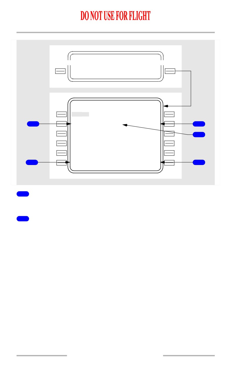
Waypoint
Displays the identifier for the waypoint from the ACT RTE LEGS page.
2
WIND
Used for entry and/or display of the true winds at the cruise waypoint identified
on the same line.
Entry may be via the keyboard, or propagated from the CRZ WIND entry on the
PERF INIT page.
The CRZ WIND value (075°/45 is depicted) propagates to all cruise waypoints
(ABC to GHI is the depicted cruise segment).
If no CRZ WIND entry was made, the FMC assumes 000°/000.
A keyboard entry has priority and propagates to all down path cruise waypoints
(an entry of 080°/140) at DEF is depicted). The entry must be executed.
Any entries propagated from the CRZ WIND entry are displayed in small font.
Keyboard entries are displayed in large font.
Crew entries of forecast winds (or default 000°/000) are automatically biased with
the actual wind computed by the FMC when within 100 NM of a cruise waypoint
and within 2000 feet of a cruise altitude. Biased values are not displayed.
11.42.34
Flight Management, Navigation -
FMC Cruise
Boeing 737 Operations Manual
Blank for non-cruise waypoints (VERNO and JKL are depicted). Entry is
inhibited.
3
Estimated Time of Arrival (ETA)
Displays the FMC calculated waypoint ETA.
4
LEGS
Selection displays the RTE LEGS page.
5
WINDS REQUEST
[Option - With company data link]
Push - transmits a data link request for winds uplink.
11.42.35
Flight Management, Navigation -
FMC Cruise
Boeing 737 Operations Manual
Position Shift Page 3/3
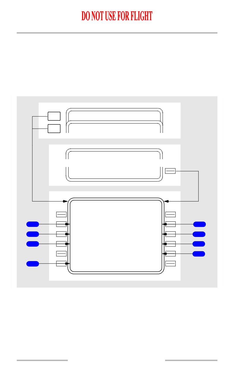
On the POS SHIFT page, each prompt indicates the bearing and distance of the
indicated system relative to the FMC position. FMC position is displayed on line
1R of POS REF page 2/3. The entries with parentheses in the center of the page
show the active position references.
Data fields are blank when on the ground.
[Option - Single FMC with GPS]
NEXT
PO S REF
3 / 3
PAGE
NEXT
PO S INIT
1 / 3
PAGE
NA V STATUS
1 / 2
POS SHIFT>
PO S SHIFT
3 / 3
G P S -
L
G
P S ( L )
G P S - R
6
<210`/1.4 N M
220`
/1.3N M >
6
I R S -
L
I
R S ( L )
I R S - R
1
<300` /
11
N
M
110`
/2.3N M >
1
R N P / A C T U A L
R A D I O
2
2 .00 / 0 . 1
5
N
M
084`
/0.1N M >
4
- - - - - - - -
-
-
- - - - - - - - - - - - - -
N
A
V STATUS>
5
3
<INDE X
11.42.36
Flight Management, Navigation -
FMC Cruise
Boeing 737 Operations Manual
[Option - Dual FMC with GPS]
NEXT
PO S REF
3 / 3
PAGE
NEXT
PO S INIT
1 / 3
PAGE
NA V STATUS
1 / 2
POS SHIFT>
PO S SHIFT
3 / 3
F M C
-
L
F M C - R
7
< 274` /0 .0 N M
094`
/0.3N M >
7
G P S -
L
G
P S ( L )
G P S - R
6
<210`/1.4 N M
220`
/1.3N M >
6
I R S -
L
I
R S ( L )
I R S - R
1
<300` /
11
N
M
110`
/2.3N M >
1
R N P / A C T U A L
R A D I O
2
2 .00 / 0 . 1
5
N
M
084`
/0.1N M >
4
- - - - - - - -
-
-
- - - - - - - - - - - - - -
N
A
V STATUS>
5
3
<INDE X
1
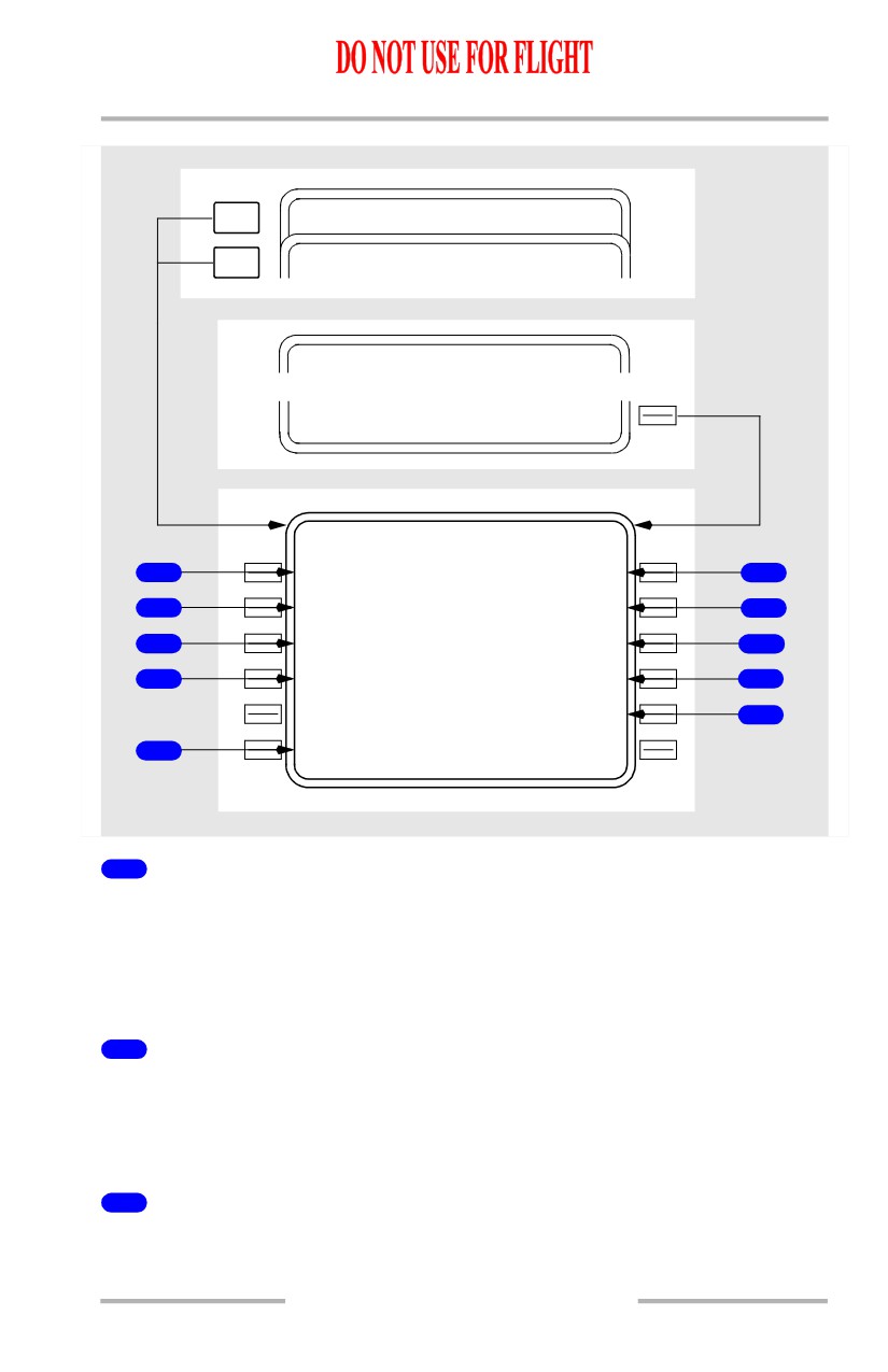
IRS Position L/R
Displays left and right IRS position relative to FMC position using current
mag/true reference. Blank if IRS position is invalid.
Push - highlights the line, illuminates the EXEC key, and displays the CANCEL
prompt.
2
Required Navigation Position/Actual (RNP/ACTUAL)
Displays the required navigation accuracy compared to actual navigation
accuracy.
Manual entry is allowed.
3
INDEX
Push - displays the INIT/REF INDEX page.
11.42.37
Flight Management, Navigation -
FMC Cruise
Boeing 737 Operations Manual
4
RADIO Position
Displays radio position relative to FMC position using current mag/true reference.
Blank if radio position is invalid.
Push - highlights the line, illuminates the EXEC key, and displays the CANCEL
prompt.
5
Navigation Status (NAV STATUS)
Push - displays the NAV STATUS page.
6
GPS Position L/R
[Option - With GPS]
Displays left and right GPS position relative to FMC position using current
mag/true reference. Blank if GPS position is invalid.
Push - highlights the line, illuminates the EXEC key, and displays the CANCEL
prompt.
7
FMC Position L/R
[Option - With dual FMC]
Displays left and right FMC position relative to FMC position using current
mag/true reference. Blank if FMC position is invalid.
Push - highlights the line, illuminates the EXEC key, and displays the CANCEL
prompt.
11.42.38
Flight Management, Navigation -
FMC Cruise
Boeing 737 Operations Manual
Inflight Position Update
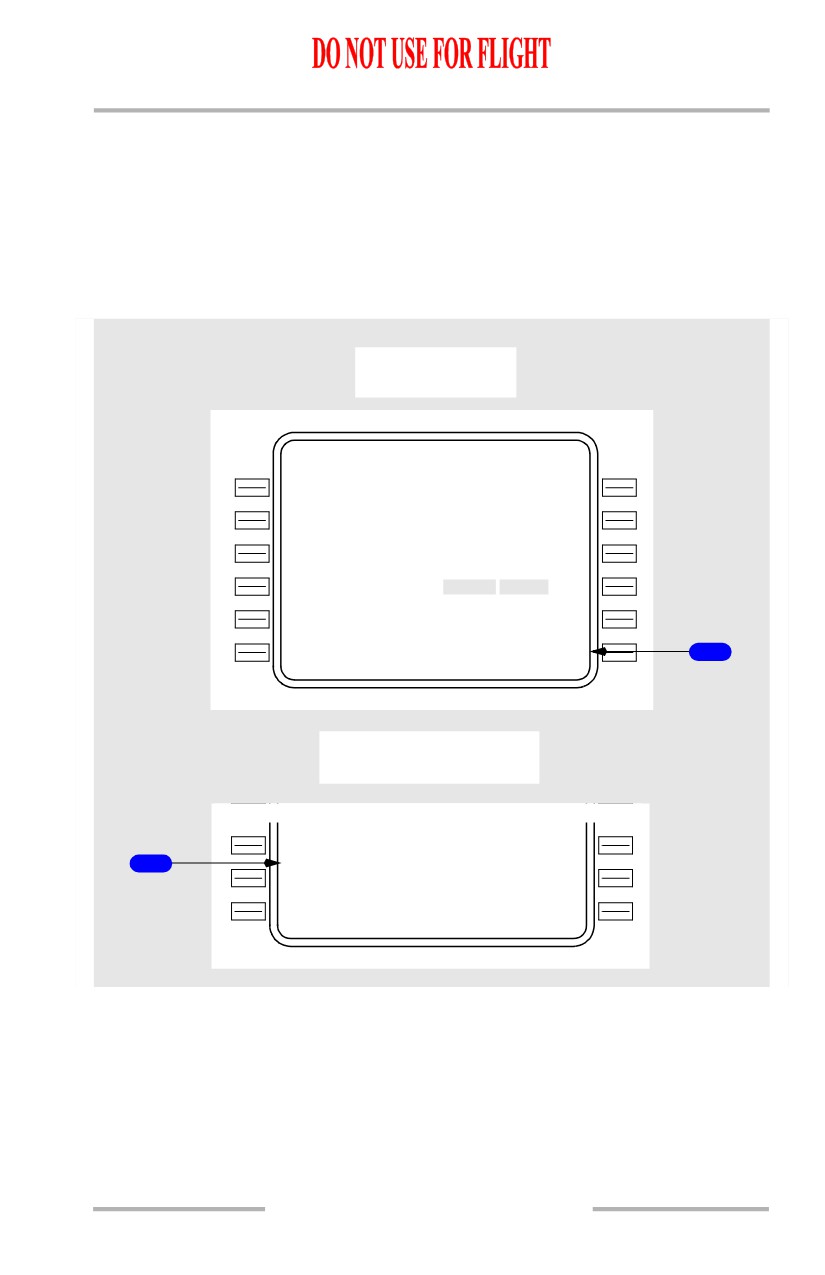
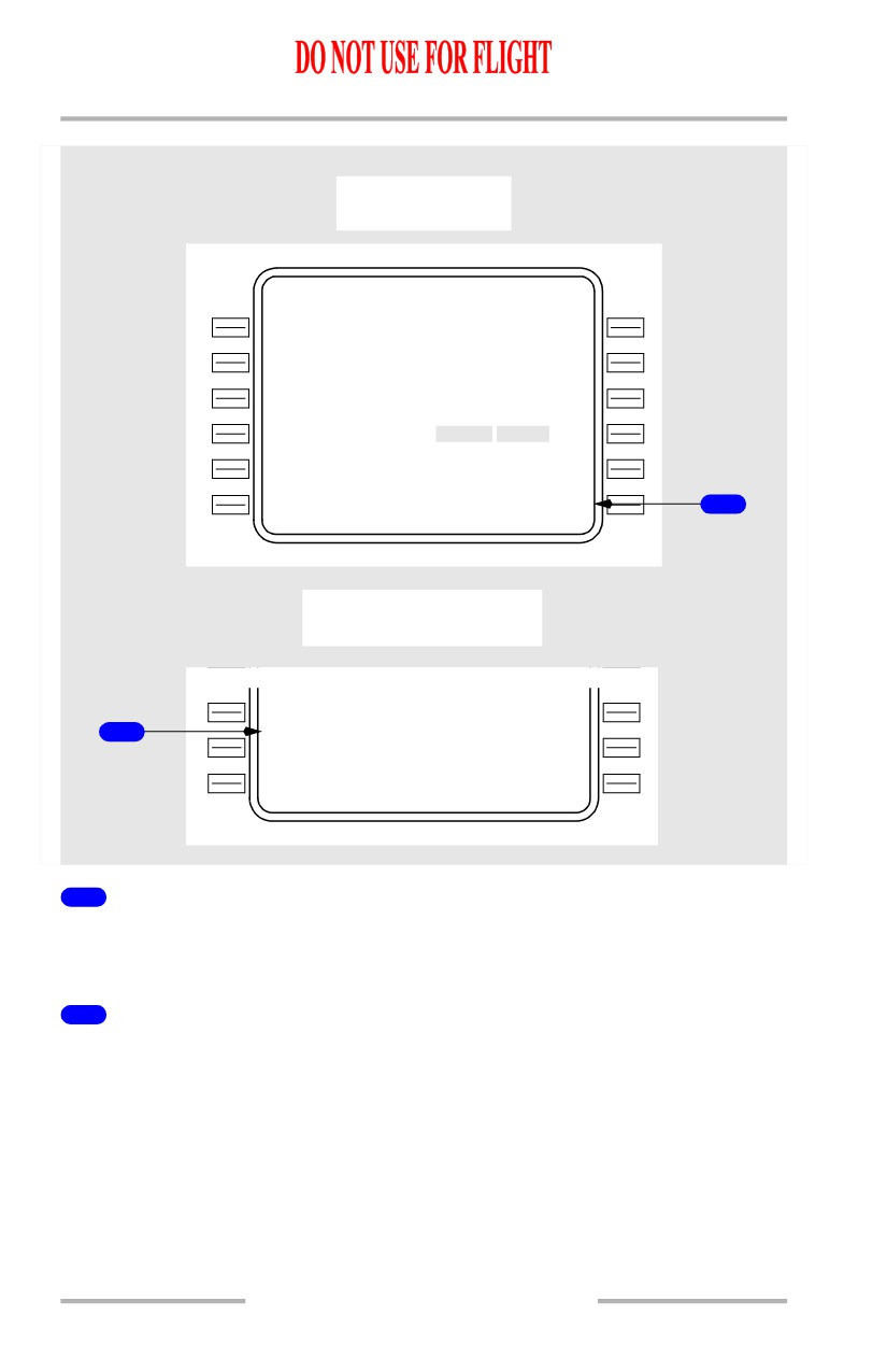
FMC position update is accomplished on the POS SHIFT 3/3 page in flight.
Selecting a prompt stops the updating of the relative position. The bearing and
distance is highlighted, the execute key is illuminated, and the CANCEL prompt
is displayed in line 6R.
When the position shift is executed, UPDATE COMPLETE is displayed.
[Option - Single FMC with GPS]
Prompt selected
PO S SHIFT
3 / 3
G P S -
L
G
P S ( L )
G P S - R
<210`/1.4 N M
220`
/1.3N M >
I R S -
L
I
R S ( L )
I R S - R
<300` /
11
N
M
110`
/2.3N M >
R N P / A C T U A L
R A D I O
2 .00 / 0 . 1
5
N
M
084` /0.1
N M >
- - - - - - - -
-
-
- - - - - - - - - - - - - -
N
A
V STATUS>
<INDE X
CANCEL>
1
POS SHIFT EXECuted
R N P / A C T U A L
R A D I O
2 .00 / 0 . 1
5
N
M
080`
/0.0N M >
2
- - - - - U P D A T E C O M P L E T E - - - -
N
A
V STATUS>
<INDE X
11.42.39
Flight Management, Navigation -
FMC Cruise
Boeing 737 Operations Manual
[Option - Dual FMC with GPS]
Prompt selected
PO S SHIFT
3 / 3
F M C
-
L
F M C - R
< 274` /0 .0 N M
094`
/0.3N M >
G P S -
L
G
P S ( L )
G P S - R
<210`/1.4 N M
220`
/1.3N M >
I R S -
L
I
R S ( L )
I R S - R
<300` /
11
N
M
110`
/2.3N M >
R N P / A C T U A L
R A D I O
2 .00 / 0 . 1
5
N
M
084` /0.1
N M >
- - - - - - - -
-
-
- - - - - - - - - - - - - -
N
A
V STATUS>
<INDE X
CANCEL>
1
POS SHIFT EXECuted
R N P / A C T U A L
R A D I O
2 .00 / 0 . 1
5
N
M
080`
/0.0N M >
2
- - - - - U P D A T E C O M P L E T E - - - -
N
A
V STATUS>
<INDE X
1
CANCEL
Displayed when a line selection is made for position update. Selection prior to
execution cancels the line selection.
2
UPDATE COMPLETE
Displayed after a position shift has been selected and executed.
11.42.40
Flight Management, Navigation -
FMC Cruise
Boeing 737 Operations Manual
Navigation Data
Reference Navigation Data (REF NAV DATA) Page
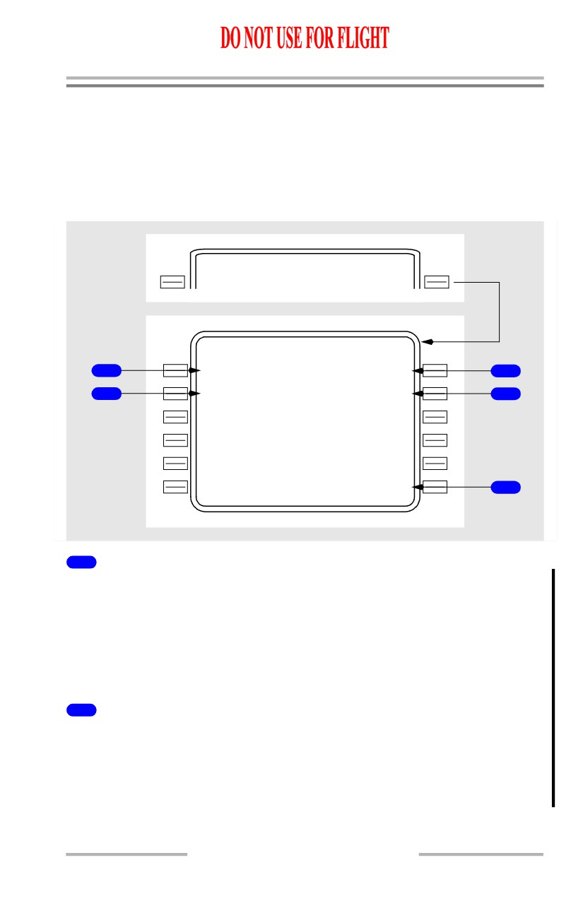
The reference navigation data page provides information about waypoints,
navaids, airports, and runways. Entering the appropriate identifier initiates the
display. Writing SUPP in the scratch pad prior to selecting NAV DATA results in
display of the supplemental navigation data (SUPP NAV DATA) page.
INIT/ REF INDEX
<IDEN T
NAV DATA>
REF NA V DATA
W P T I D E
N
T
N A V A I D I D E N T
1
---
-
-
----
3
A I R P O R
T
I
D E N T
2
--
-
-
SUMMARY>
4
- - - - - - - -
-
-
- -
<INDE X
NAV OPTIONS>
5
1
Waypoint Identifier (WPT IDENT)
Displays dashes initially.
Any waypoint, navaid or runway can be entered.
Format for runway entry is “RWnna” where “nn” is a one or two digit numeric
(with or without leading zeros) and “a” is an optional character L, R, or C.
In order to access runway data, an airport must be identified.
2
Airport Identifier (AIRPORT IDENT)
Displays dashes initially.
Displays box prompts if runway is entered into 1L prior to airport entry.
An invalid airport/runway pair will result in “NOT IN DATA BASE” displayed in
the scratchpad.
11.42.41
Flight Management, Navigation -
FMC Cruise
Boeing 737 Operations Manual
3
Navigation Aid Identifier (NAVAID IDENT)
Displays dashes initially.
Valid entries are up to 4 alphanumeric characters.
If the navaid is not contained in the databases, box prompts will appear in related
data fields needing entry.
4
SUMMARY
Selection displays NAV SUMMARY pages.
Blank if supplimental and temporary databases are empty.
5
Navigation Options (NAV OPTIONS)
Selection displays NAV OPTIONS page.
If the entered identifier is already stored in the permanent, supplemental, or
temporary database, then relevant data propagates to the subsequent REF NAV
DATA display.
If the entered identifier is not stored in any database, the subsequent REF NAV
DATA display contains box prompts. Following entry of the required information,
the new data may be stored in the temporary database by executing (except for
runway data). Data may be subsequently deleted from the temporary database by
deleting the individual identifier, if the identifier is not presently being displayed
on another page (e.g., RTE LEGS, PROGRESS, etc.).
All data stored in the temporary database is cleared at flight completion.
11.42.42
Flight Management, Navigation -
FMC Cruise
Boeing 737 Operations Manual
Waypoint Data Display
REF NA V DATA
W P T I D E N T
1
MACO N
L A T I T U D E
L O N G I T U D E
2
N50`36
4
W082`16. 4
M A G V A R
3
W
1
0
`
R E F I D E N T
R A D I A L / D I S T
4
SAVN H
270`/150NM
6
- - - - - - - -
-
-
- - -
5
<INDE X
1
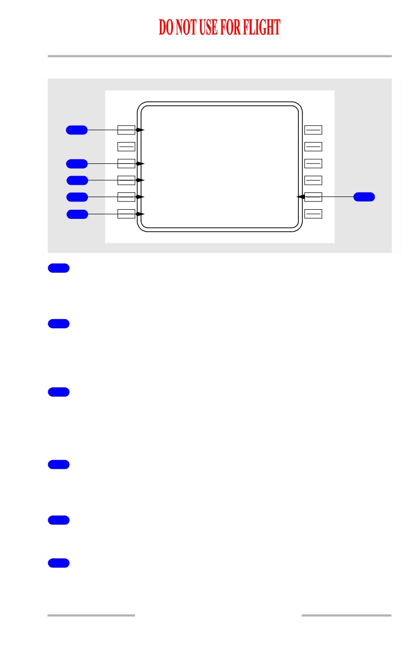
Waypoint Identifier (WPT IDENT)
Displays or permits entry of the desired waypoint. When this entry is complete,
the associated data lines are displayed.
2
LATITUDE/LONGITUDE
Displays or permits entry of waypoint latitude and longitude. Entry on the REF
IDENT and RADIAL/DIST lines cause latitude and longitude to be computed and
displayed.
3
Magnetic Variation (MAG VAR)
Displays or permits entry of waypoint magnetic variation. Data is automatically
computed based on latitude and longitude.
Manual entry has priority.
4
Reference Identifier (REF IDENT)
Together with RADIAL/DIST, displays or permits entry of reference point for a
created waypoint.
5
INDEX
Selection displays REF NAV DATA page.
6
Radial/Distance (RADIAL/DIST)
Together with REF IDENT, displays or permits entry of bearing and distance for
a created waypoint.
11.42.43