Infiniti F50. Manual - part 187
NAVIGATION SYSTEM
AV-113
C
D
E
F
G
H
I
J
L
M
A
B
AV
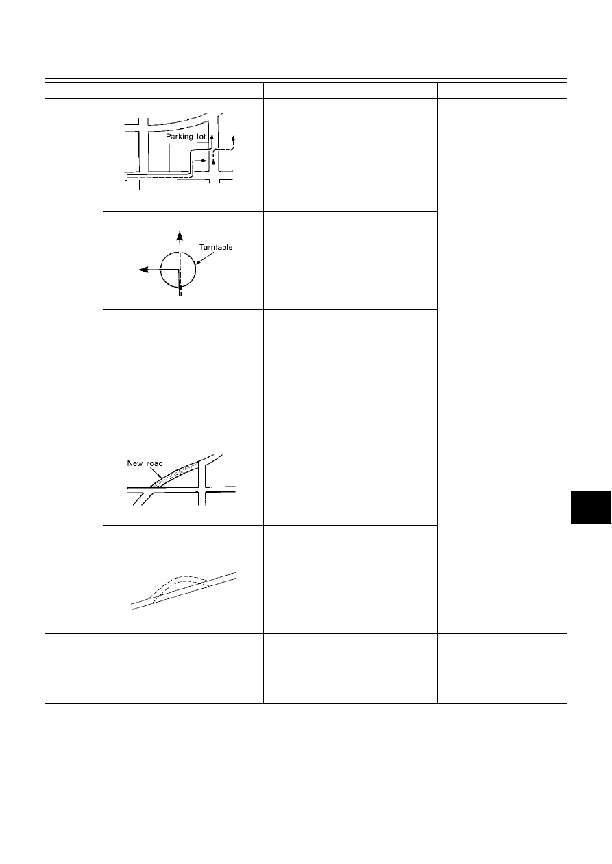
Place
In a parking lot
When driving in a parking lot, or other loca-
tion where there are no roads on the map,
matching may place the vehicle mark on a
nearby road. When the vehicle returns to
the road, the vehicle mark may have devi-
ated from the correct location.
When driving in circle or turning the steer-
ing wheel repeatedly, direction errors accu-
mulate, and the vehicle mark may deviate
from the correct location.
If after travelling about 10 km (6
miles) the correct location has
not been restored, perform
location correction and, if nec-
essary, direction correction.
Turn table
When the ignition switch is OFF, the navi-
gation system cannot get the signal from
the gyroscope (angular speed sensor).
Therefore, the displayed direction may be
wrong and the correct road may not be
easily returned to after rotating the vehicle
on a turn table with the ignition OFF.
Slippery roads
On snow, wet roads, gravel, or other roads
where tires may slip easily, accumulated
mileage errors may cause the vehicle mark
to deviate from the correct road.
Slopes
When parking in sloped garages, when
travelling on banked roads, or in other
cases where the vehicle turns when tilted,
an error in the turning angle will occur, and
the vehicle mark may deviate from the
road.
Map data
Road not displayed on the map screen
When driving on new roads or other roads
not displayed on the map screen, map
matching does not function correctly and
matches the location to a nearby road.
When the vehicle returns to a road which is
on the map, the vehicle mark may deviate
from the correct road.
Different road pattern
(Changed due to repair)
If the road pattern stored in the map data
and the actual road pattern are different,
map matching does not function correctly
and matches the location to a nearby road.
The vehicle mark may deviate from the
correct road.
Vehicle
Use of tire chains
When tire chains are used, the mileage is
not correctly detected, and the vehicle
mark may deviate from the correct road.
Drive the vehicle for a while. If
the distance is still deviated,
adjust it by using the distance
adjustment function. (If the tire
chain is removed, recover the
original value.)
Cause (condition)
-:While driving
ooo:Display
Driving condition
Remarks (correction, etc.)
SEL709V
SEL710V
SEL699V
ELK0201D